
New South Wales has experienced mixed rainfall throughout winter and spring, and mean temperatures for April to October have been the third highest on record since 1910.
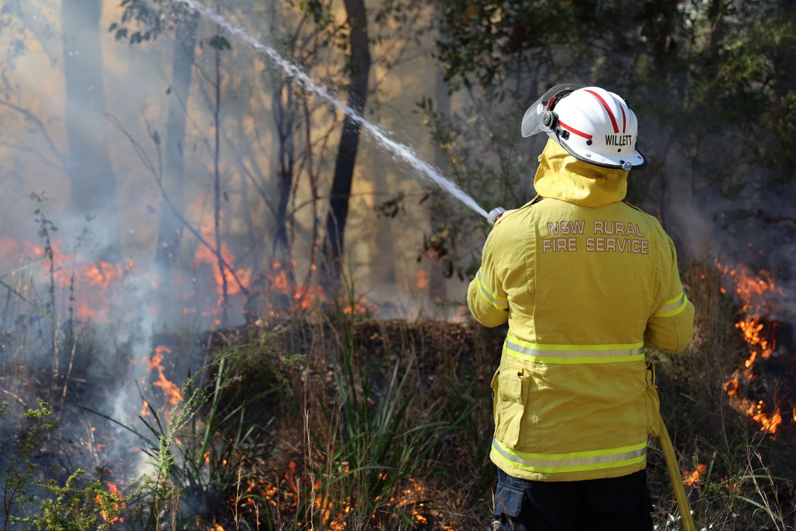
Due to existing dryness, above average temperatures, higher than normal grass fuel loads and a mixed rainfall outlook, areas of central northern and central southern NSW are predicted to see above normal fire potential this summer.
In some areas, rainfall hindered burning efforts and encouraged grass growth. Meanwhile, other areas received much lower rainfall than normal, leaving them dry and, in some cases, even drought-affected.

While some parts of the State are forecast to receive more rain than usual this summer, this forecast could change.
This uncertainty, combined with forecasts for higher (than average) temperatures, means there is significant risk that the forecast rainfall will not address all the areas that are currently experiencing dry conditions.
Areas around Deniliquin, Hillston, Walgett and Coonamble have higher than normal grass fuel loads. Grasses in these areas are already dry (cured) and are predicted to see above normal fire potential this summer.
Elsewhere in the State, existing conditions and a forecast for above normal rainfall is expected to provide the usual fire risk.
Parts of southeast NSW (including the South Coast, Monaro and Southern Ranges) have seen lower than average rainfall over the past few months. There remains a danger that, if they do not see forecast rainfall, forests in these areas could become dry enough to fuel fast moving, damaging fires.
Similarly, in other areas west of the Great Dividing Range, grass fuel loads remain high due to favourable growing conditions.
If these grasses dry out and cure over summer, a combination of high fuel loads and cured grass could also pose a risk for quickly moving, intense grass fires, particularly during middle to late summer.
To order photos from this page click here