

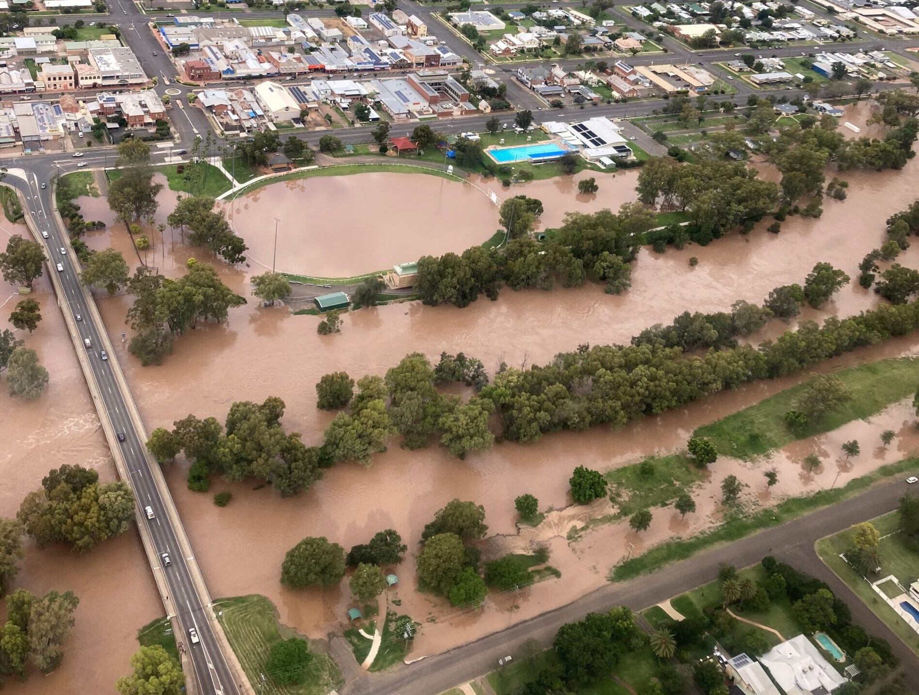
Water height in the Namoi River is beginning its decline following major flooding across parts of the North West.
The water level had dropped to 6.96 metres at Narrabri Creek on Wednesday morning and was continuing to fall, the SES advised.
The creek peaked at 7.55 metres on Monday, November 29.


While the water level continues its decline, the SES continued to advise that the Violet Street (low level) bridge could remain affected by floodwater.
Ugoa Street, between Lantana and Villarette Avenue, could also remain impacted by floodwater.
In Wee Waa, the Namoi River (Glencoe) was 7.48 metres on Wednesday and falling.
“An extended peak, with major flooding, is expected for the remainder of the week,” a flood bulletin issued by the SES on Wednesday morning read.
In the bulletin, the SES warned that forecast rainfall on Wednesday and Thursday may cause further river rises and flooding in the Namoi River catchment.
“The situation is being closely monitored,” the flood bulletin read.
The floodwater surrounding Wee Waa has isolated the town, cutting off access on both sections of the Kamilaroi Highway in addition to Pilliga Road and Culgoora Road.
However, the supply of essential items has continued, via boat and helicopter.
Boggabri township was spared the brutality of the Namoi River in flood, however, surrounding areas have been impacted by floodwaters.
The river peaked at 8.5 metres at 1am on Sunday, November 28. It was at 7.57 metres and falling, the SES advised on Wednesday.
Among its updates, the SES said Manilla road may be impacted by floodwater at the Iron Bridge.
The Boston Street Bridge, Therribri Road at Grover’s and “Daiseymede” as well as the Gunnedah road at Barlow’s Corner and Second Bend could all remain affected by floodwater.
To order photos from this page click here