
Major flooding occurred at Wee Waa (Glencoe), as well as further upstream at Gunnedah after a late-week deluge pushed the region’s water systems above capacity.
In Narrabri, the Bureau of Meteorology officially recorded 57.4 millimetres, however, other locations, including Wee Waa, experienced rainfall much higher.
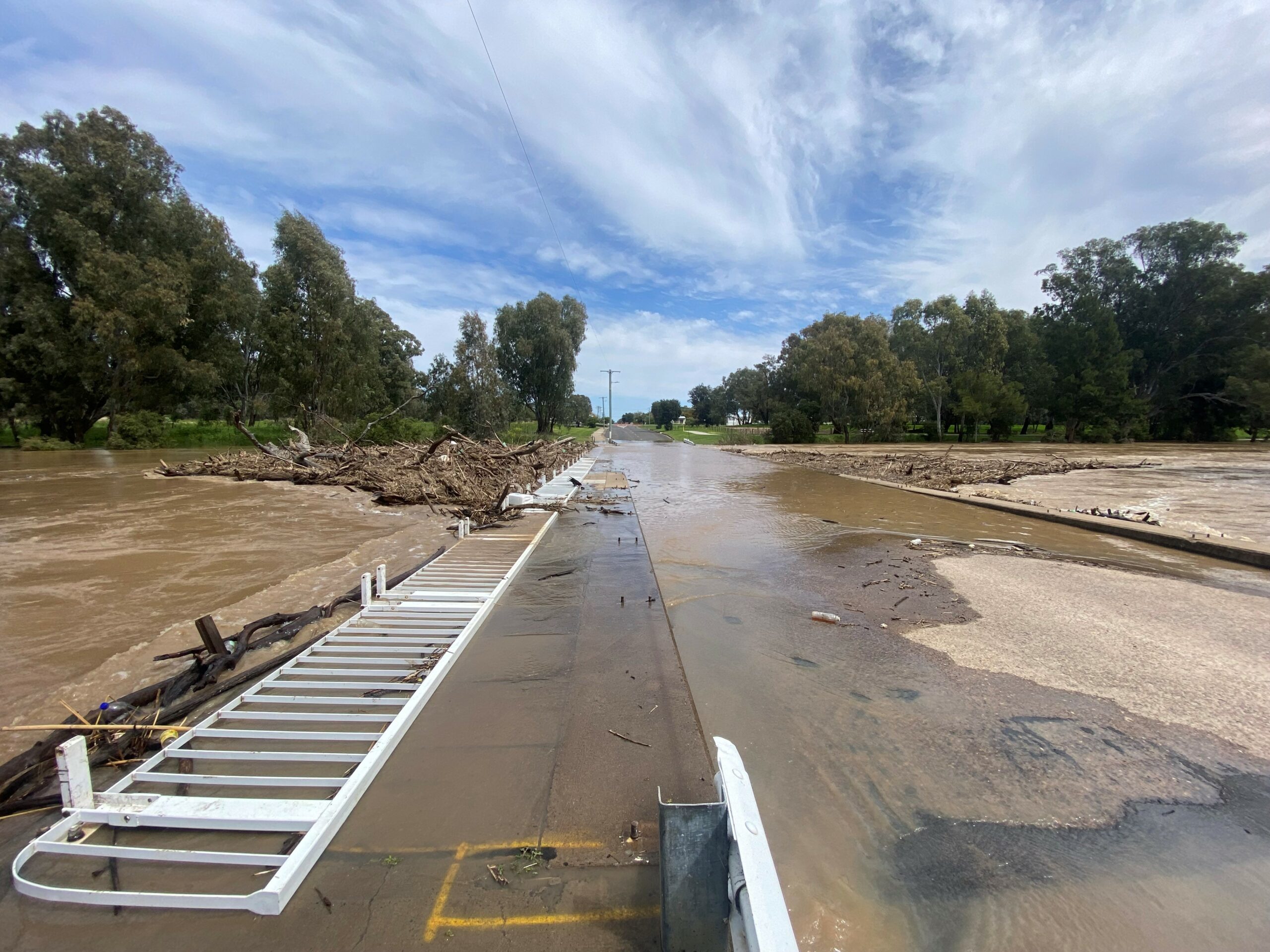
The Namoi River peaked at 6.86 metres at Wee Waa on Sunday morning, however, renewed rises were likely, the SES advised in a flood bulletin.


The bulletin, released at 12pm on Monday, said the river level is likely to peak near 6.90 metres overnight Wednesday into Thursday with major flooding.
At this height, Gardens Road, Kamilaroi Highway at Glencoe, Kamilaroi Highway towards Burren Junction, Vera’s Leap Road at Wee Waa Lagoon and Culgoora Road at Wee Waa Lagoon are likely to be impacted.
In Narrabri, minor flooding is likely, with the Narrabri Creek possibly peaking at 5.50 metres on Tuesday evening.
The flood bulletin indicated the Narrabri Creek could exceed the minor flood level of 4.9 metres by last night before peaking at an anticipated 5.5 metres by Tuesday evening.
At this height, the creek will overflow into the low-lying areas of Cameron Park.
The Violet Street bridge will also be covered by floodwater at this height.
Minor flooding occurred at Boggabri, with the river peaking near 7.70 metres on Monday morning.
The Kamilaroi Highway, between Boggabri and Gunnedah, had been closed.
Similar to last year’s flooding event, Gunnedah has been particularly impacted by disaster again after the Namoi River peaked at 8.16 metres early on Sunday morning.
As of Monday morning, at least four homes are believed to have been inundated.
For the latest details regarding road closures, visit the Live Traffic NSW website or local shire council Facebook pages.
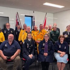
For emergency help in floods and storms, call the NSW State Emergency Service on 132 500. In life-threatening situations, call triple zero (000) immediately.
To order photos from this page click here