


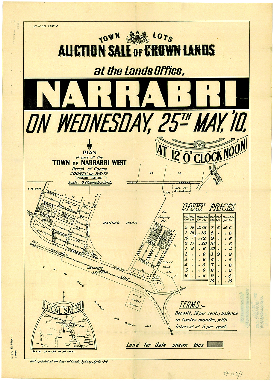
More than 4600 historic plans of 460 regional towns in NSW — including Narrabri, Boggabri and Wee Waa — have been digitised and made available for the first time on the State Library of NSW’s website.
According to the State Library’s maps expert, Maggie Patton, subdivision plans are an absolute goldmine for genealogists and local historians as they allow them to place themselves in the past — on a street, in a town, where they once lived, where ancestors established themselves.
“What’s more, they are filled with fascinating details like property prices, town descriptions and sometimes a photograph,” said Ms Patton.


Subdivision plans were ephemeral items, usually discarded once a development site was sold.
Luckily, the State Library has acquired and preserved these 100-year-old plans for the people of NSW and beyond, to access and use.
Dating from as early as the 1880s, up to the 1930s, the plans were produced by real estate agents and auctioneers to advertise new subdivisions and land sales.
They range from hand‐drawn surveyors’ plans to beautifully designed colour posters.
“They provide a fascinating visual record of how your town was imagined by town planners of the past, and how it has developed and expanded over time,” said Ms Patton.
“Some of the plans are annotated with sales figures, and you can see how public transport or access to shops, parks and local attractions influenced the popularity of a town.
“Estate agents used creative marketing strategies to entice people to regional locations by promoting special events with free transport, refreshments or entertainment for the kids.”
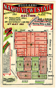
Subdivision plans, Boggabri, 1911.