
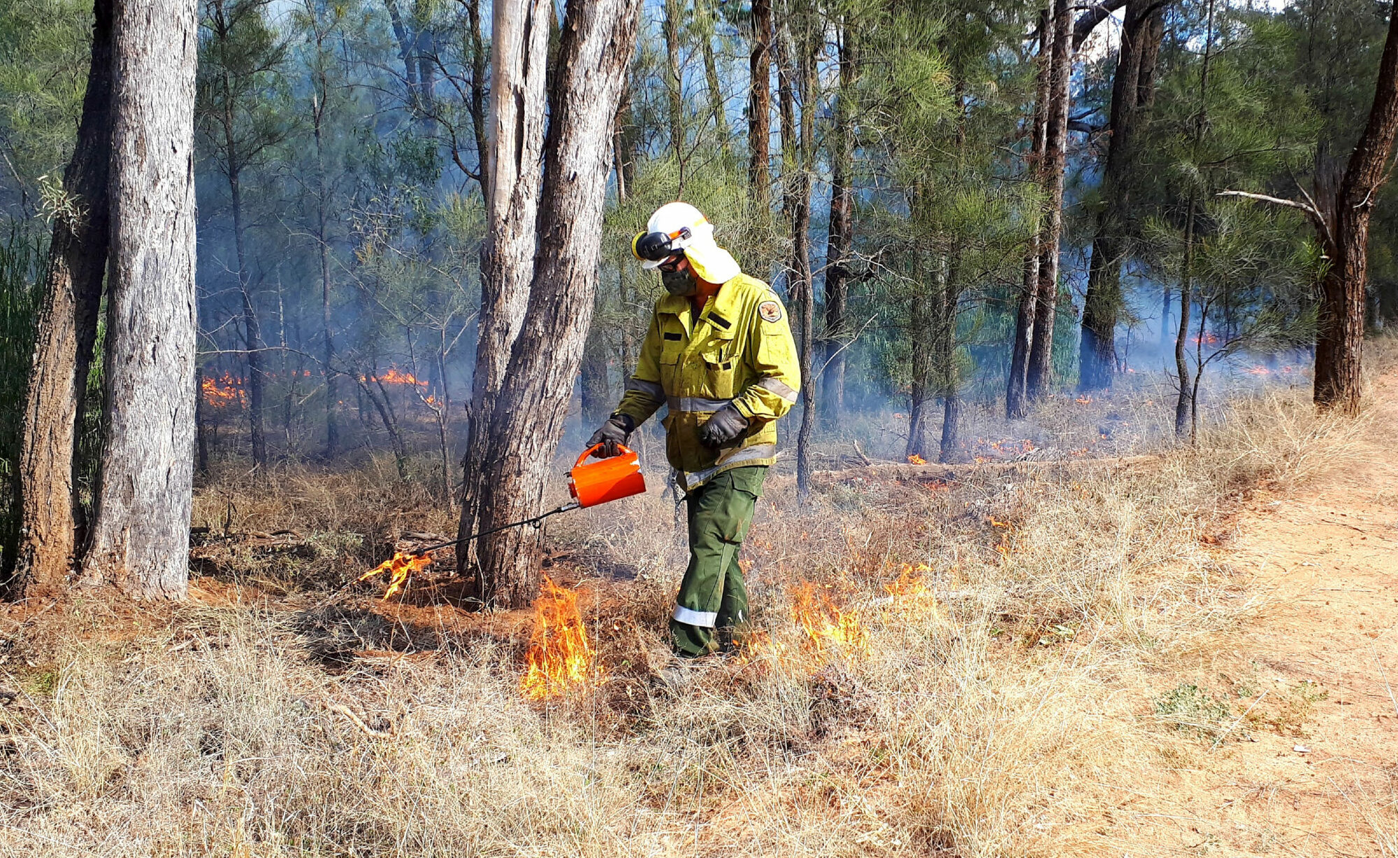
The NSW National Parks and Wildlife Service will undertake hazard reduction burns in the Pilliga State Conservation Area for three days from Tuesday, July 26 to Thursday, July 28, weather permitting.
Two separate burns will take place around 25 kilometres east of Gwabegar – a 530-hectare burn near Carawatha and Dog Proof roads and a 980-hectare burn near Junction Road, NPWS area manager John Whittall said.
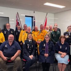
“Our fire crews are aiming to create a cool mosaic burn across the Pilliga landscape to help protect villages such as Gwabegar, while protecting the environment,” Mr Whittall said.


“Depending on the wind, smoke may affect the villages of Pilliga, Gwabegar and Kenebri, as well as Gwabegar Road and Cypress Way.
“If you are vulnerable to smoke, we encourage you to stay indoors and keep your doors and windows closed to reduce exposure. Anyone driving on smoke-affected roads should drive at a safe speed due to limited visibility, heed warning signs and follow any directions given by NPWS fire crews.”
Several park roads will be closed within the Pilliga State Conservation Area, including parts of Ironbark Crossing Road.
The Carawatha Road to Dog Proof Road burn also aims to protect elements of the historic dog-proof fence.
“This burn is one of the many that we are working hard to carry out in national parks across the Pilliga region over the next 12 months,” Mr Whittall said.
Hazard reduction burns are essential to reduce bushfire fuel loads to help protect the parks, neighbours and communities from future bushfires.
All burns across New South Wales will continue to be coordinated with the NSW Rural Fire Service to ensure the impact on the community, including from smoke, are assessed at a regional level.
For health information relating to smoke from bush fires and hazard reduction burning, visit the NSW Health website or the Asthma Foundation.
To order photos from this page click here